 vesseltracker.com
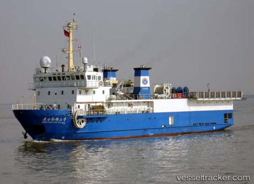
Find the position of the vessel DONG FANG KAN TAN NO. 2 on the map. The latter are known coordinates and path.
marine traffic ship tracker show on live map
The current position of vessel DONG FANG KAN TAN NO. 2 is 24.74824 lat / 53.83522 lng. Updated: 2025-11-14 22:31:45 UTCCurrently sailing under the flag of Panama
DONG FANG KAN TAN NO. 2 built in 2006 year
Deadweight:
650 tDetails:
Last coordinates of the vessel:
UTC, 24.74831, 53.83513, course: 136, speed: 0UTC, 24.74826, 53.83514, course: 150, speed: 0.1
UTC, 24.74832, 53.83513, course: 144, speed: 0
2025-11-14 22:31:45 UTC, 24.74824, 53.83522, course: 176, speed: 0
Track of the vessel in the last 14 days
The ship also appears on the maps: